


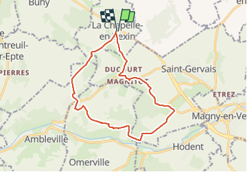

10.2 km | 12.2 km-effort


User


FREE GPS app for hiking
 SityTrail
IGN / Geographical institutes
SityTrail World
The world is yours!
Trail Walking of 13.9 km to be discovered at Ile-de-France, Val-d'Oise, La Chapelle-en-Vexin. This trail is proposed by LANDRIEU.
essai

Walking
Walking
Walking
Walking

Walking

Walking
Walking
On foot

Walking
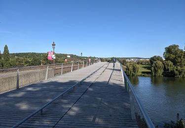
Merci pour cette randonnée au cœur du vexin avec des vraies belles vues et des corps de ferme magnifiques très boueux aujourd’hui sur le retour